
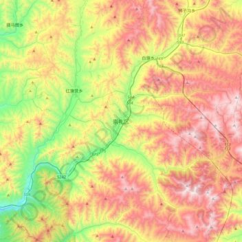
崇礼区 topographic map
Interactive map
Click on the map to display elevation.
About this map
Name: 崇礼区 topographic map, elevation, terrain.
Location: 崇礼区, 张家口市, 河北省, 中国 (40.81052 115.11674 41.13052 115.43674)
Average elevation: 5,085 ft
Minimum elevation: 3,228 ft
Maximum elevation: 7,110 ft
Other topographic maps
Click on a map to view its topography, its elevation and its terrain.