
羊坊村 topographic map
Interactive map
Click on the map to display elevation.
About this map
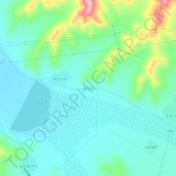
Name: 羊坊村 topographic map, elevation, terrain.
Location: 羊坊村, 张家口市, 河北省, 中国 (41.44843 115.33419 41.48843 115.37419)
Average elevation: 4,915 ft
Minimum elevation: 4,757 ft
Maximum elevation: 5,449 ft
Other topographic maps
Click on a map to view its topography, its elevation and its terrain.