
莲花滩乡 topographic map
Interactive map
Click on the map to display elevation.
About this map
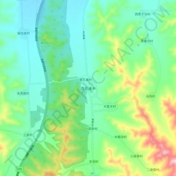
Name: 莲花滩乡 topographic map, elevation, terrain.
Location: 莲花滩乡, 张家口市, 河北省, 中国 (41.35672 115.48335 41.43672 115.56335)
Average elevation: 5,167 ft
Minimum elevation: 4,826 ft
Maximum elevation: 6,056 ft
Other topographic maps
Click on a map to view its topography, its elevation and its terrain.