
土木镇 topographic map
Interactive map
Click on the map to display elevation.
About this map
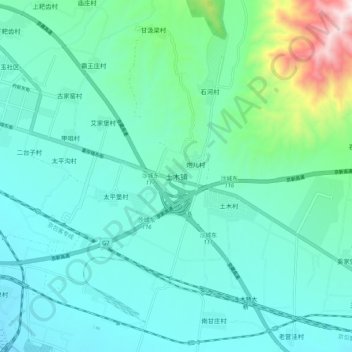
Name: 土木镇 topographic map, elevation, terrain.
Location: 土木镇, 张家口市, 河北省, 中国 (40.34758 115.55170 40.42758 115.63170)
Average elevation: 2,057 ft
Minimum elevation: 1,565 ft
Maximum elevation: 4,377 ft
Other topographic maps
Click on a map to view its topography, its elevation and its terrain.