
青龙山 topographic map
Interactive map
Click on the map to display elevation.
About this map
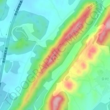
Name: 青龙山 topographic map, elevation, terrain.
Location: 青龙山, 南京市, 江苏省, 中国 (31.98994 118.90914 31.99004 118.90924)
Average elevation: 256 ft
Minimum elevation: 52 ft
Maximum elevation: 689 ft
Other topographic maps
Click on a map to view its topography, its elevation and its terrain.