
燕子矶街道 topographic map
Interactive map
Click on the map to display elevation.
About this map
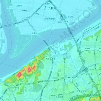
Name: 燕子矶街道 topographic map, elevation, terrain.
Location: 燕子矶街道, 栖霞区, 南京市, 江苏省, 中国 (32.11179 118.77492 32.17991 118.88168)
Average elevation: 56 ft
Minimum elevation: 0 ft
Maximum elevation: 587 ft
Other topographic maps
Click on a map to view its topography, its elevation and its terrain.