
八卦洲 topographic map
Interactive map
Click on the map to display elevation.
About this map
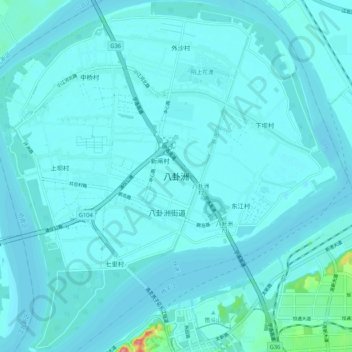
Name: 八卦洲 topographic map, elevation, terrain.
Location: 八卦洲, 南京市, 江苏省, 中国 (32.13910 118.76289 32.22849 118.86496)
Average elevation: 23 ft
Minimum elevation: 0 ft
Maximum elevation: 312 ft
Other topographic maps
Click on a map to view its topography, its elevation and its terrain.