
横梁街道 topographic map
Interactive map
Click on the map to display elevation.
About this map
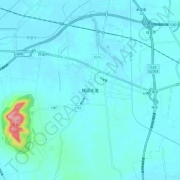
Name: 横梁街道 topographic map, elevation, terrain.
Location: 横梁街道, 南京市, 江苏省, 中国 (32.28077 118.88505 32.36077 118.96505)
Average elevation: 59 ft
Minimum elevation: 13 ft
Maximum elevation: 554 ft
Other topographic maps
Click on a map to view its topography, its elevation and its terrain.