
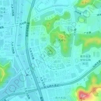
梅岭 topographic map
Interactive map
Click on the map to display elevation.
About this map
Name: 梅岭 topographic map, elevation, terrain.
Location: 梅岭, 南京市, 江苏省, 210023, 中国 (32.12035 118.95217 32.12045 118.95227)
Average elevation: 85 ft
Minimum elevation: 13 ft
Maximum elevation: 469 ft
Other topographic maps
Click on a map to view its topography, its elevation and its terrain.