
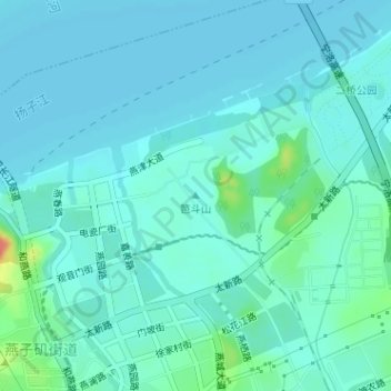
笆斗山 topographic map
Interactive map
Click on the map to display elevation.
About this map
Name: 笆斗山 topographic map, elevation, terrain.
Location: 笆斗山, 南京市, 江苏省, 210028, 中国 (32.14912 118.82766 32.14922 118.82776)
Average elevation: 33 ft
Minimum elevation: 3 ft
Maximum elevation: 190 ft
Other topographic maps
Click on a map to view its topography, its elevation and its terrain.