
桃花山 topographic map
Interactive map
Click on the map to display elevation.
About this map
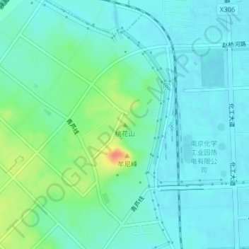
Name: 桃花山 topographic map, elevation, terrain.
Location: 桃花山, 南京市, 江苏省, 中国 (32.27396 118.80616 32.27406 118.80626)
Average elevation: 52 ft
Minimum elevation: 13 ft
Maximum elevation: 171 ft
Other topographic maps
Click on a map to view its topography, its elevation and its terrain.