
Meadowlands topographic map
Interactive map
Click on the map to display elevation.
About this map
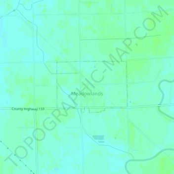
Name: Meadowlands topographic map, elevation, terrain.
Location: Meadowlands, Saint Louis County, Minnesota, United States (47.06886 -92.73932 47.07686 -92.72321)
Average elevation: 1,273 ft
Minimum elevation: 1,260 ft
Maximum elevation: 1,283 ft
Saint Louis County trails, hiking, mountain biking, running and outdoor activities
Other topographic maps
Click on a map to view its topography, its elevation and its terrain.
Little Sandy Lake
United States > Minnesota > Saint Louis County > Mountain Iron
Average elevation: 1,467 ft
Fond du Lac
United States > Minnesota > Saint Louis County > Duluth > Fond du Lac
Average elevation: 735 ft
Hibbing
United States > Minnesota > Saint Louis County > Hibbing > Hibbing
Average elevation: 1,490 ft