
龙陵县 topographic map
Interactive map
Click on the map to display elevation.
About this map
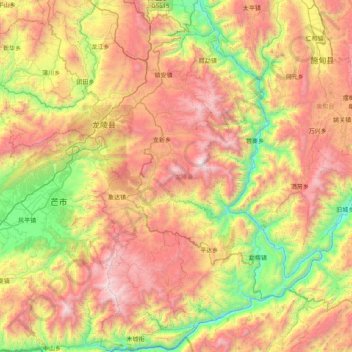
Name: 龙陵县 topographic map, elevation, terrain.
Location: 龙陵县, 保山市, 云南省, 中国 (24.12500 98.41463 24.85148 99.18654)
Average elevation: 5,256 ft
Minimum elevation: 1,841 ft
Maximum elevation: 9,692 ft
Other topographic maps
Click on a map to view its topography, its elevation and its terrain.