
腊勐镇 topographic map
Interactive map
Click on the map to display elevation.
About this map
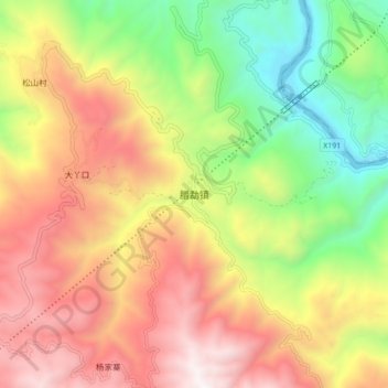
Name: 腊勐镇 topographic map, elevation, terrain.
Location: 腊勐镇, 保山市, 云南省, 中国 (24.68833 98.88679 24.76833 98.96679)
Average elevation: 4,934 ft
Minimum elevation: 2,093 ft
Maximum elevation: 7,887 ft
Other topographic maps
Click on a map to view its topography, its elevation and its terrain.