
滇滩镇 topographic map
Interactive map
Click on the map to display elevation.
About this map
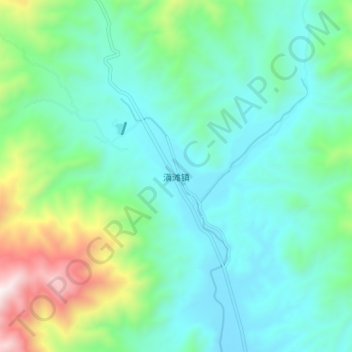
Name: 滇滩镇 topographic map, elevation, terrain.
Location: 滇滩镇, 保山市, 云南省, 中国 (25.48925 98.36968 25.56925 98.44968)
Average elevation: 6,663 ft
Minimum elevation: 5,689 ft
Maximum elevation: 9,970 ft
Other topographic maps
Click on a map to view its topography, its elevation and its terrain.