
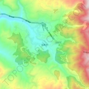
瓦房乡 topographic map
Interactive map
Click on the map to display elevation.
About this map
Name: 瓦房乡 topographic map, elevation, terrain.
Location: 瓦房乡, 保山市, 云南省, 中国 (25.32397 99.02037 25.40397 99.10037)
Average elevation: 6,473 ft
Minimum elevation: 4,636 ft
Maximum elevation: 9,603 ft
Other topographic maps
Click on a map to view its topography, its elevation and its terrain.