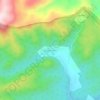
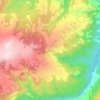
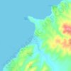
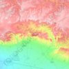
Panos topographic map
Click on the map to display elevation.
About this map

Name: Panos topographic map, elevation, terrain.
Location: Panos, Ağrı, Eastern Anatolia Region, 04500, Turkey (38.92997 42.59671 39.42045 43.21623)
Average elevation: 6,394 ft
Minimum elevation: 4,856 ft
Maximum elevation: 13,228 ft
Other topographic maps
Click on a map to view its topography, its elevation and its terrain.



Gaziantep
The plan introduced several important changes to the city's transportation network. One of the most important was the addition of a rail line to connect Gaziantep to the national rail system. Up to now, Turkish railway construction had ignored Gaziantep (partly because of its mountainous surroundings); a…
Average elevation: 2,887 ft