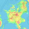
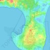
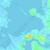
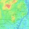
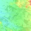
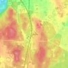
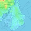
Barsø topographic map
Click on the map to display elevation.
About this map

Name: Barsø topographic map, elevation, terrain.
Location: Barsø, Aabenraa Municipality, 6210, Denmark (55.11089 9.54465 55.13080 9.57331)
Average elevation: 10 ft
Minimum elevation: -7 ft
Maximum elevation: 108 ft
Other topographic maps
Click on a map to view its topography, its elevation and its terrain.
Aalborg
Denmark > North Denmark Region
The area close to the waterfront is low-lying, with an elevation averaging about 5 metres (16 ft), but there are many hills in and around city, some reaching over 60 m (200 ft). Nørresundby, on the northern side of the sound, is also a hilly area. Villages to the south of Aalborg from west to east include…
Average elevation: 56 ft
Aarhus
Denmark > Central Denmark Region
Western winds from the Atlantic and North Sea are dominant resulting in more precipitation in western Denmark. In addition, Jutland rises sufficiently in the centre to lift air to higher, colder altitudes contributing to increased precipitation in eastern Jutland. Combined, these factors make east and south…
Average elevation: 115 ft
Lammefjorden
The draining project began in 1873, but it took until 1943 before the lowest elevations were pumped dry. Large parts of the fjord were shallow enough to be dry early on. In 1899 the Odsherred Railway opened across the western end of the fjord. The town of Fårevejle Stationsby grew up where the railway…
Average elevation: 33 ft

Bornholm
Denmark > Capital Region of Denmark
The island is known as solskinsøen ("sunshine island") because of its weather and klippeøen ("rock island") because of its geology, which consists of granite, except along the southern coast. The heat from the summer is stored in the rock formations and the weather is quite warm until October. As a result of…
Average elevation: 108 ft











Vejle
Denmark > Region of Southern Denmark
In a country where the highest natural elevation is only about 170 m (558 ft) above sea level, Vejle is known for the forested hills that rise to the north and south of the town and fjord.
Average elevation: 200 ft
Vejle
Denmark > Region of Southern Denmark
In a country where the highest natural elevation is only about 170 m (558 ft) above sea level, Vejle is known for the forested hills that rise to the north and south of the town and fjord.
Average elevation: 200 ft












Aarhus
Denmark > Central Denmark Region
Western winds from the Atlantic and North Sea are dominant resulting in more precipitation in western Denmark. In addition, Jutland rises sufficiently in the centre to lift air to higher, colder altitudes contributing to increased precipitation in eastern Jutland. Combined, these factors make east and south…
Average elevation: 115 ft



Anholt
Denmark > Central Denmark Region
The western fifth of Anholt consists of hilly moraine country, while the eastern four-fifths of the island consist of mostly flat raised seabed with some low hills, former wind-blown sand dunes. Only the western moraine hills are inhabited. The eastern part, called "Ørkenen" (The Desert) is treeless; the…
Average elevation: 7 ft