
张北县 topographic map
Interactive map
Click on the map to display elevation.
About this map
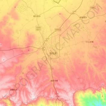
Name: 张北县 topographic map, elevation, terrain.
Location: 张北县, 张家口市, 河北省, 中国 (40.98823 114.55631 41.30823 114.87631)
Average elevation: 4,721 ft
Minimum elevation: 3,520 ft
Maximum elevation: 5,509 ft
Other topographic maps
Click on a map to view its topography, its elevation and its terrain.