
谯城区 topographic map
Interactive map
Click on the map to display elevation.
About this map
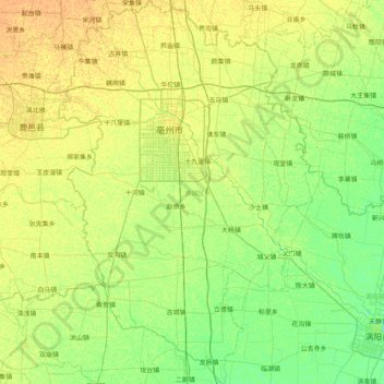
Name: 谯城区 topographic map, elevation, terrain.
Location: 谯城区, 亳州市, 安徽省, 236800, 中国 (33.41043 115.54006 34.08295 116.07500)
Average elevation: 125 ft
Minimum elevation: 92 ft
Maximum elevation: 161 ft
Other topographic maps
Click on a map to view its topography, its elevation and its terrain.