
岳西县 topographic map
Interactive map
Click on the map to display elevation.
About this map
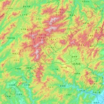
Name: 岳西县 topographic map, elevation, terrain.
Location: 岳西县, 安庆市, 安徽省, 中国 (30.65627 115.84079 31.18488 116.55757)
Average elevation: 1,913 ft
Minimum elevation: 82 ft
Maximum elevation: 5,643 ft
Other topographic maps
Click on a map to view its topography, its elevation and its terrain.