
钟山乡 topographic map
Interactive map
Click on the map to display elevation.
About this map
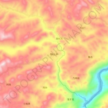
Name: 钟山乡 topographic map, elevation, terrain.
Location: 钟山乡, 罗平县, 曲靖市, 云南省, 中国 (24.94183 104.58435 25.02183 104.66435)
Average elevation: 5,295 ft
Minimum elevation: 3,688 ft
Maximum elevation: 6,335 ft
Other topographic maps
Click on a map to view its topography, its elevation and its terrain.