Geolocate

金鸡 topographic map

Interactive map

Click on the map to display elevation.

About this map

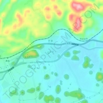
Name: 金鸡 topographic map, elevation, terrain.

Location: 金鸡, 罗平县, 曲靖市, 云南省, 中国 (24.93365 104.38048 24.97365 104.42048)

Average elevation: 4,984 ft

Minimum elevation: 4,800 ft

Maximum elevation: 5,525 ft

Other topographic maps

Click on a map to view its topography, its elevation and its terrain.

鲁布革布依族苗族乡

中国 > 云南省 > 罗平县

鲁布革布依族苗族乡, 罗平县, 曲靖市, 云南省, 中国

Average elevation: 3,471 ft

罗雄街道

中国 > 云南省 > 罗平县

罗雄街道, 罗平县, 曲靖市, 云南省, 中国

Average elevation: 5,007 ft

长底布依族乡

中国 > 云南省 > 罗平县

长底布依族乡, 罗平县, 曲靖市, 云南省, 中国

Average elevation: 4,856 ft

钟山乡

中国 > 云南省 > 罗平县

钟山乡, 罗平县, 曲靖市, 云南省, 中国

Average elevation: 5,295 ft

大水井乡

中国 > 云南省 > 罗平县

大水井乡, 罗平县, 曲靖市, 云南省, 中国

Average elevation: 4,577 ft

罗平县

中国 > 云南省 > 罗平县

罗平县, 曲靖市, 云南省, 中国

Average elevation: 5,394 ft

鲁邑

中国 > 云南省 > 罗平县 > 鲁邑

鲁邑, 罗平县, 曲靖市, 云南省, 中国

Average elevation: 5,089 ft