
红旗街道 topographic map
Interactive map
Click on the map to display elevation.
About this map
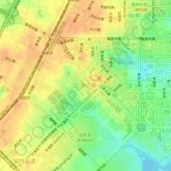
Name: 红旗街道 topographic map, elevation, terrain.
Location: 红旗街道, 朝阳区, 长春市, 吉林省, 130000, 中国 (43.85504 125.27498 43.88119 125.30170)
Average elevation: 771 ft
Minimum elevation: 699 ft
Maximum elevation: 817 ft
Other topographic maps
Click on a map to view its topography, its elevation and its terrain.
南岭1932 长春水文化生态园
南岭1932 长春水文化生态园, 鸿城街道, 南关区, 长春市, 吉林省, 130000, 中国
Average elevation: 709 ft