Geolocate

Cumberland topographic map

Click on the map to display elevation.

About this map

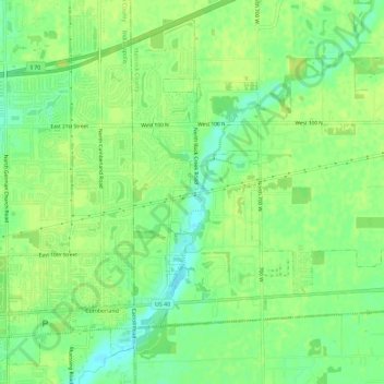
Name: Cumberland topographic map, elevation, terrain.

Location: Cumberland, Hancock County, Indiana, United States (39.77000 -85.97129 39.80941 -85.91406)

Average elevation: 856 ft

Minimum elevation: 823 ft

Maximum elevation: 873 ft

Hancock County trails, hiking, mountain biking, running and outdoor activities

Other topographic maps

Click on a map to view its topography, its elevation and its terrain.

Gem

United States > Indiana > Hancock County

Average elevation: 856 ft

Milners Corner

United States > Indiana > Hancock County

Average elevation: 928 ft

Mohawk

United States > Indiana > Hancock County

Average elevation: 869 ft

Mount Comfort

United States > Indiana > Hancock County

Average elevation: 860 ft

Nashville

United States > Indiana > Hancock County

Average elevation: 948 ft

Pleasant Acres

United States > Indiana > Hancock County

Average elevation: 860 ft

Riley

United States > Indiana > Hancock County > Greenfield

Average elevation: 902 ft

Stringtown

United States > Indiana > Hancock County

Average elevation: 915 ft

Westland

United States > Indiana > Hancock County

Average elevation: 912 ft

Woodbury

United States > Indiana > Hancock County

Average elevation: 860 ft

Eden

United States > Indiana > Hancock County

Average elevation: 889 ft

Maxwell

United States > Indiana > Hancock County

Average elevation: 906 ft

Philadelphia

United States > Indiana > Hancock County

Average elevation: 856 ft

Warrington

United States > Indiana > Hancock County

Average elevation: 974 ft

Willow Branch

United States > Indiana > Hancock County

Average elevation: 942 ft

Charlottesville

United States > Indiana > Hancock County

Average elevation: 965 ft

Carrollton

United States > Indiana > Hancock County

Average elevation: 840 ft

Gear up for your next adventure:

🥾Hiking Shoes - Durable and comfortable shoes for trail hiking
🌲Outdoor Survival Books - Best books on survival skills
🛰️Handheld GPS Units - Professional satellite navigators for precise backcountry mapping
🦶Hiking Gaiters - Keep debris and water out of your boots
🚗GPS Dash Cams - Record your scenic drives through mountain passes and canyons

As an Amazon Associate, this site earns from qualifying purchases at no extra cost to you.