
Kazan River topographic map
Interactive map
Click on the map to display elevation.
About this map
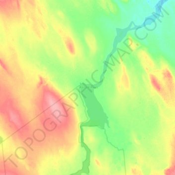
Name: Kazan River topographic map, elevation, terrain.
Location: Kazan River, Nunavut, Kanada (62.96673 -97.64087 63.14566 -97.44608)
Average elevation: 486 ft
Minimum elevation: 374 ft
Maximum elevation: 636 ft
Other topographic maps
Click on a map to view its topography, its elevation and its terrain.