
Koukdjuak River topographic map
Interactive map
Click on the map to display elevation.
About this map
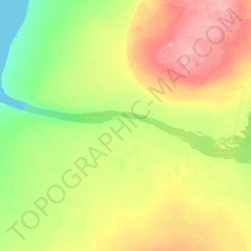
Name: Koukdjuak River topographic map, elevation, terrain.
Location: Koukdjuak River, Nunavut, Kanada (66.57840 -73.01473 66.73457 -71.34138)
Average elevation: 138 ft
Minimum elevation: 0 ft
Maximum elevation: 440 ft
Other topographic maps
Click on a map to view its topography, its elevation and its terrain.