
Bylot-insel topographic map
Interactive map
Click on the map to display elevation.
About this map
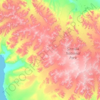
Name: Bylot-insel topographic map, elevation, terrain.
Location: Bylot-insel, Nunavut, Kanada (72.95879 -79.43031 73.59879 -78.79031)
Average elevation: 2,559 ft
Minimum elevation: 0 ft
Maximum elevation: 6,348 ft
Other topographic maps
Click on a map to view its topography, its elevation and its terrain.