
Yathkyed Lake topographic map
Interactive map
Click on the map to display elevation.
About this map
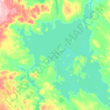
Name: Yathkyed Lake topographic map, elevation, terrain.
Location: Yathkyed Lake, Nunavut, Kanada (62.40178 -98.51175 62.97188 -97.21850)
Average elevation: 541 ft
Minimum elevation: 443 ft
Maximum elevation: 1,014 ft
Other topographic maps
Click on a map to view its topography, its elevation and its terrain.