
余粮村 topographic map
Interactive map
Click on the map to display elevation.
About this map
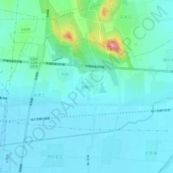
Name: 余粮村 topographic map, elevation, terrain.
Location: 余粮村, 临沂市, 山东省, 中国 (35.22115 118.39347 35.26115 118.43347)
Average elevation: 315 ft
Minimum elevation: 240 ft
Maximum elevation: 725 ft
Other topographic maps
Click on a map to view its topography, its elevation and its terrain.