
苏家埠 topographic map
Interactive map
Click on the map to display elevation.
About this map
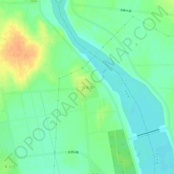
Name: 苏家埠 topographic map, elevation, terrain.
Location: 苏家埠, 临沂市, 山东省, 中国 (35.27145 118.43454 35.31145 118.47454)
Average elevation: 292 ft
Minimum elevation: 249 ft
Maximum elevation: 371 ft
Other topographic maps
Click on a map to view its topography, its elevation and its terrain.