
泗沂庄 topographic map
Interactive map
Click on the map to display elevation.
About this map
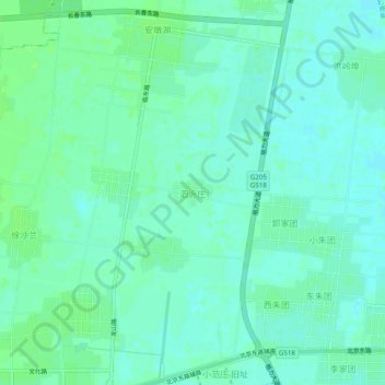
Name: 泗沂庄 topographic map, elevation, terrain.
Location: 泗沂庄, 临沂市, 山东省, 中国 (35.11585 118.49373 35.15585 118.53373)
Average elevation: 233 ft
Minimum elevation: 220 ft
Maximum elevation: 249 ft
Other topographic maps
Click on a map to view its topography, its elevation and its terrain.