
莒南县 topographic map
Interactive map
Click on the map to display elevation.
About this map
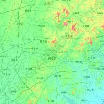
Name: 莒南县 topographic map, elevation, terrain.
Location: 莒南县, 临沂市, 山东省, 中国 (35.01945 118.56180 35.39471 119.19511)
Average elevation: 344 ft
Minimum elevation: 7 ft
Maximum elevation: 2,126 ft
Other topographic maps
Click on a map to view its topography, its elevation and its terrain.