
菜峪 topographic map
Interactive map
Click on the map to display elevation.
About this map
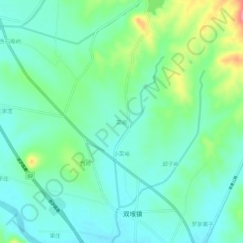
Name: 菜峪 topographic map, elevation, terrain.
Location: 菜峪, 临沂市, 山东省, 中国 (35.46339 118.21147 35.50339 118.25147)
Average elevation: 466 ft
Minimum elevation: 384 ft
Maximum elevation: 692 ft
Other topographic maps
Click on a map to view its topography, its elevation and its terrain.