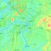
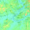
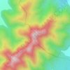
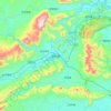
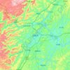
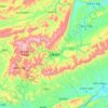
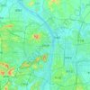
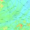
Loudi topographic map
Click on the map to display elevation.
Loudi
The western parts of the city borders mountainous regions while the east parts is generally considered hilly with gently sloping topography.
About this map

Name: Loudi topographic map, elevation, terrain.
Location: Loudi, Hunan, China (27.20699 110.76509 28.23868 112.51818)
Average elevation: 807 ft
Minimum elevation: 69 ft
Maximum elevation: 5,125 ft
Other topographic maps
Click on a map to view its topography, its elevation and its terrain.




Zhangjiajie Tianmen Mountain National Forest Park
China > Hunan > Yongding District
Average elevation: 2,562 ft
Zhangjiajie Tianmen Mountain National Forest Park
China > Hunan > Yongding District
Average elevation: 2,562 ft
Ningxiang
China > Hunan > Ningxiang > Yutan Subdistrict
The highest natural elevation in Ningxiang County is 1071m at Wazizhai (瓦子寨).
Average elevation: 272 ft