
新荣区 topographic map
Interactive map
Click on the map to display elevation.
About this map
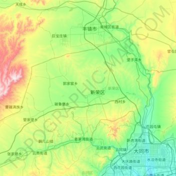
Name: 新荣区 topographic map, elevation, terrain.
Location: 新荣区, 大同市, 山西省, 中国 (40.12136 112.86928 40.41447 113.51692)
Average elevation: 4,203 ft
Minimum elevation: 3,327 ft
Maximum elevation: 6,627 ft
Other topographic maps
Click on a map to view its topography, its elevation and its terrain.