
斗林 topographic map
Interactive map
Click on the map to display elevation.
About this map
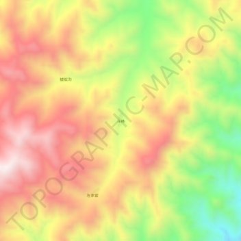
Name: 斗林 topographic map, elevation, terrain.
Location: 斗林, 阳高县, 大同市, 山西省, 中国 (40.25534 113.56286 40.29534 113.60286)
Average elevation: 5,814 ft
Minimum elevation: 4,521 ft
Maximum elevation: 6,827 ft
Other topographic maps
Click on a map to view its topography, its elevation and its terrain.