
西房子村 topographic map
Interactive map
Click on the map to display elevation.
About this map
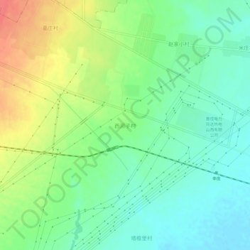
Name: 西房子村 topographic map, elevation, terrain.
Location: 西房子村, 大同市, 山西省, 037001, 中国 (39.95962 113.15006 39.99962 113.19006)
Average elevation: 3,432 ft
Minimum elevation: 3,363 ft
Maximum elevation: 3,543 ft
Other topographic maps
Click on a map to view its topography, its elevation and its terrain.