
燕庄村 topographic map
Interactive map
Click on the map to display elevation.
About this map
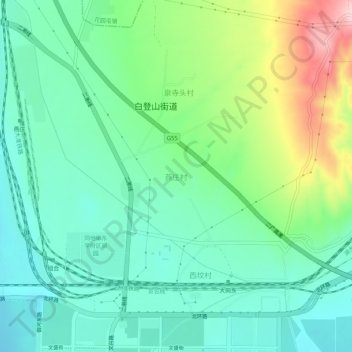
Name: 燕庄村 topographic map, elevation, terrain.
Location: 燕庄村, 大同市, 山西省, 037044, 中国 (40.10438 113.32809 40.14438 113.36809)
Average elevation: 3,629 ft
Minimum elevation: 3,415 ft
Maximum elevation: 4,154 ft
Other topographic maps
Click on a map to view its topography, its elevation and its terrain.