
颜家沟 topographic map
Interactive map
Click on the map to display elevation.
About this map
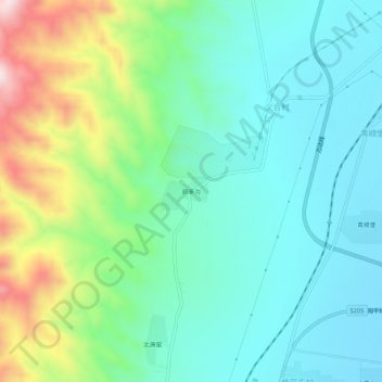
Name: 颜家沟 topographic map, elevation, terrain.
Location: 颜家沟, 阳高县, 大同市, 山西省, 中国 (40.31451 113.66388 40.35451 113.70388)
Average elevation: 3,858 ft
Minimum elevation: 3,428 ft
Maximum elevation: 5,007 ft
Other topographic maps
Click on a map to view its topography, its elevation and its terrain.