
Austevoll topographic map
Click on the map to display elevation.
About this map
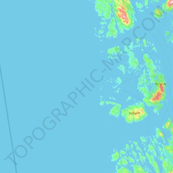
Name: Austevoll topographic map, elevation, terrain.
Location: Austevoll, Vestland, Norway (59.91352 4.54705 60.18880 5.33182)
Average elevation: 20 ft
Minimum elevation: -3 ft
Maximum elevation: 942 ft
Other topographic maps
Click on a map to view its topography, its elevation and its terrain.