
墨脱镇 topographic map
Interactive map
Click on the map to display elevation.
About this map
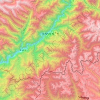
Name: 墨脱镇 topographic map, elevation, terrain.
Location: 墨脱镇, 墨脱县, 林芝市, 西藏自治区, 860000, 中国 (29.06834 95.17533 29.42322 95.74319)
Average elevation: 9,180 ft
Minimum elevation: 1,962 ft
Maximum elevation: 16,480 ft
Other topographic maps
Click on a map to view its topography, its elevation and its terrain.