
Kulgam topographic map
Click on the map to display elevation.
About this map
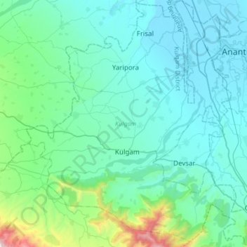
Name: Kulgam topographic map, elevation, terrain.
Location: Kulgam, Kulgam District, Jammu and Kashmir, India (33.55702 74.90672 33.78403 75.17502)
Average elevation: 5,965 ft
Minimum elevation: 5,223 ft
Maximum elevation: 10,817 ft
Other topographic maps
Click on a map to view its topography, its elevation and its terrain.