
陵川县 topographic map
Interactive map
Click on the map to display elevation.
About this map
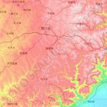
Name: 陵川县 topographic map, elevation, terrain.
Location: 陵川县, 晋城市, 山西省, 中国 (35.42628 113.03457 35.89784 113.61923)
Average elevation: 3,638 ft
Minimum elevation: 276 ft
Maximum elevation: 5,781 ft
全县总面积1751平方公里,大部分地区海拔在1200—1600米之间,最高海拔达1791.9米,最低海拔628米。
Other topographic maps
Click on a map to view its topography, its elevation and its terrain.