
凤城镇 topographic map
Interactive map
Click on the map to display elevation.
About this map
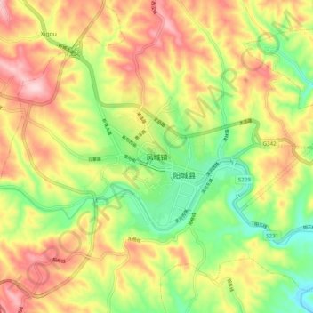
Name: 凤城镇 topographic map, elevation, terrain.
Location: 凤城镇, 晋城市, 山西省, 中国 (35.44438 112.37262 35.52438 112.45262)
Average elevation: 2,152 ft
Minimum elevation: 1,736 ft
Maximum elevation: 2,592 ft
Other topographic maps
Click on a map to view its topography, its elevation and its terrain.