
金村镇 topographic map
Interactive map
Click on the map to display elevation.
About this map
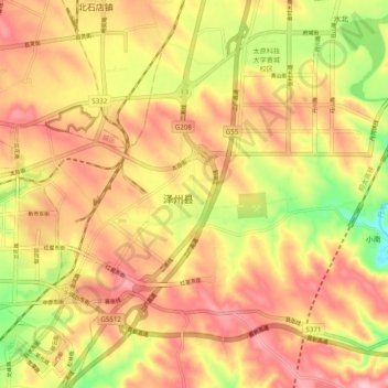
Name: 金村镇 topographic map, elevation, terrain.
Location: 金村镇, 晋城市, 山西省, 中国 (35.46834 112.88003 35.54834 112.96003)
Average elevation: 2,500 ft
Minimum elevation: 2,165 ft
Maximum elevation: 2,733 ft
Other topographic maps
Click on a map to view its topography, its elevation and its terrain.