
宝山镇 topographic map
Interactive map
Click on the map to display elevation.
About this map
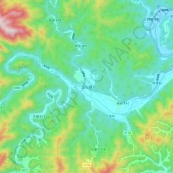
Name: 宝山镇 topographic map, elevation, terrain.
Location: 宝山镇, 怀柔区, 北京市, 中国 (40.65378 116.52391 40.73378 116.60391)
Average elevation: 1,503 ft
Minimum elevation: 912 ft
Maximum elevation: 3,166 ft
Other topographic maps
Click on a map to view its topography, its elevation and its terrain.