
雁栖地区 topographic map
Interactive map
Click on the map to display elevation.
About this map
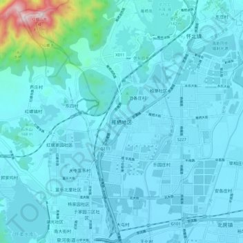
Name: 雁栖地区 topographic map, elevation, terrain.
Location: 雁栖地区, 怀柔区, 北京市, 101422, 中国 (40.31906 116.61215 40.39906 116.69215)
Average elevation: 328 ft
Minimum elevation: 135 ft
Maximum elevation: 2,566 ft
Other topographic maps
Click on a map to view its topography, its elevation and its terrain.