
南大街村 topographic map
Interactive map
Click on the map to display elevation.
About this map
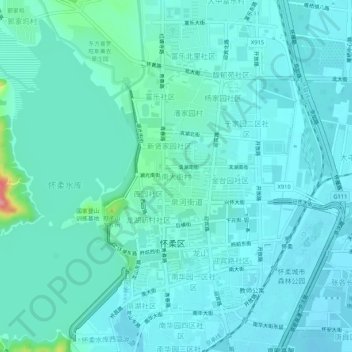
Name: 南大街村 topographic map, elevation, terrain.
Location: 南大街村, 怀柔区, 北京市, 101422, 中国 (40.30306 116.60659 40.34306 116.64659)
Average elevation: 180 ft
Minimum elevation: 131 ft
Maximum elevation: 492 ft
Other topographic maps
Click on a map to view its topography, its elevation and its terrain.