
幸福东园社区 topographic map
Interactive map
Click on the map to display elevation.
About this map
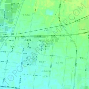
Name: 幸福东园社区 topographic map, elevation, terrain.
Location: 幸福东园社区, 怀柔区, 北京市, 中国 (40.30308 116.68695 40.34308 116.72695)
Average elevation: 157 ft
Minimum elevation: 138 ft
Maximum elevation: 180 ft
Other topographic maps
Click on a map to view its topography, its elevation and its terrain.